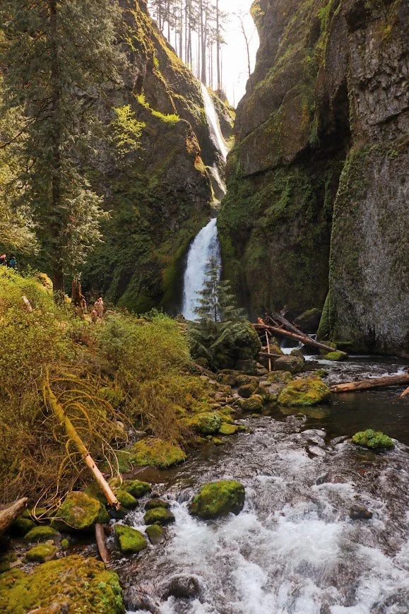
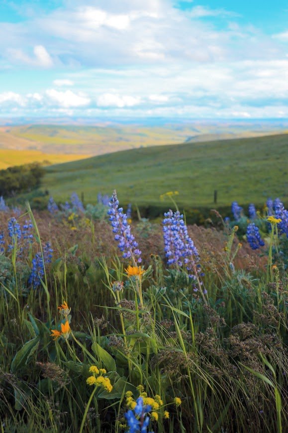
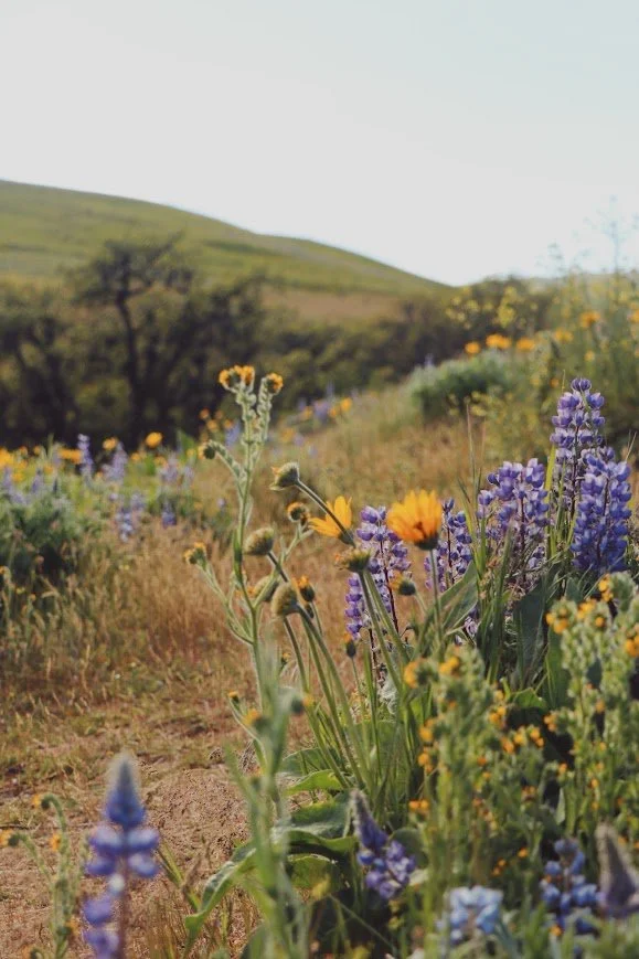
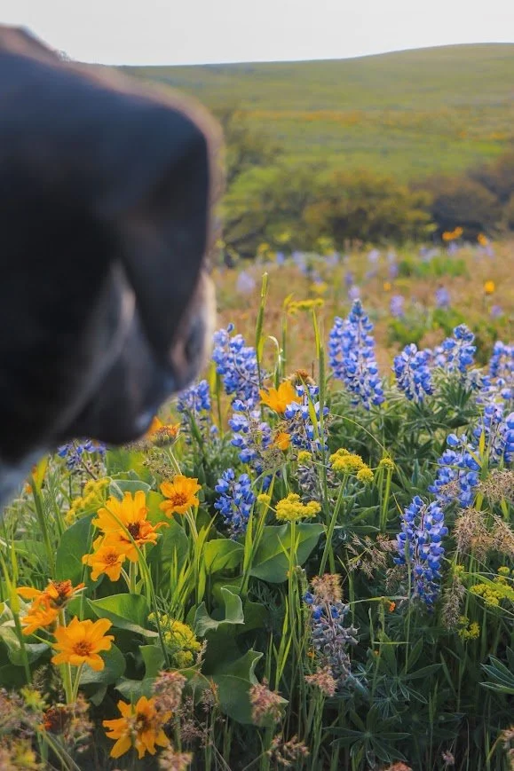
Columbia River Gorge: A Complete Guide to Hiking & Camping
Your guide to the Columbia River Gorge: iconic waterfalls, the Eagle Creek Trail to Tunnel Falls, Mitchell Point Tunnel, and where to camp along the way.
Updated July 29, 2026
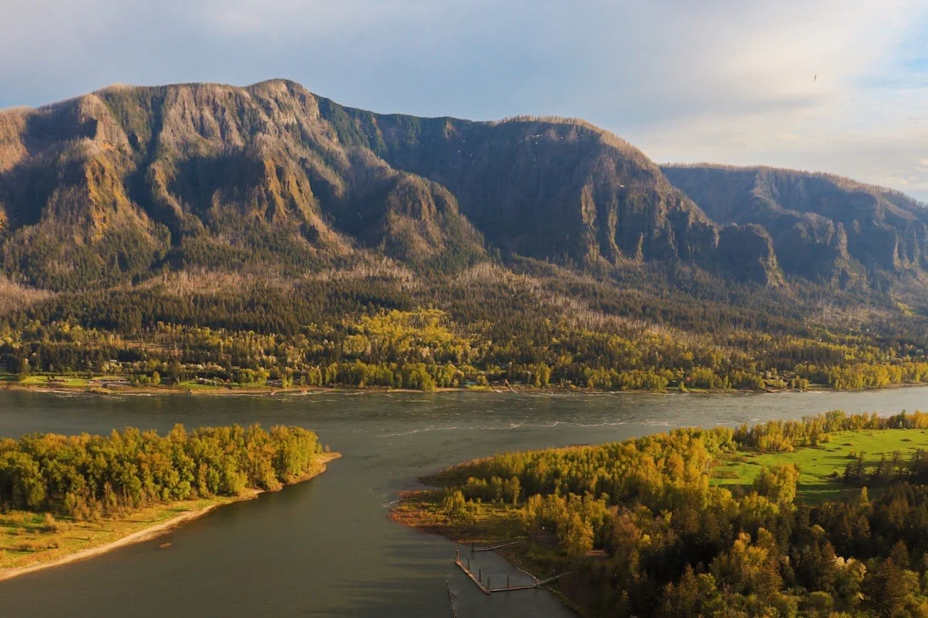
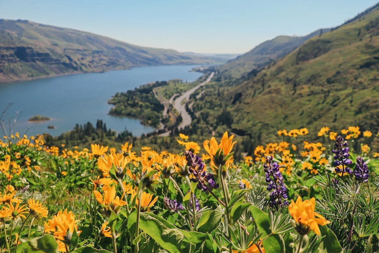
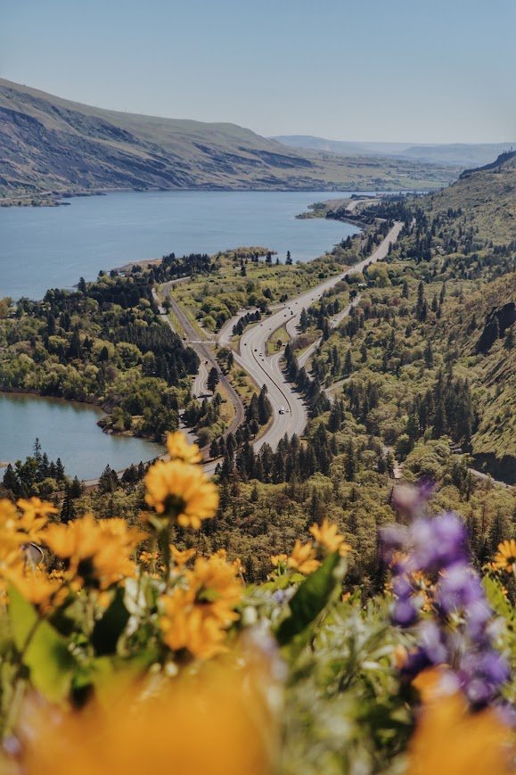
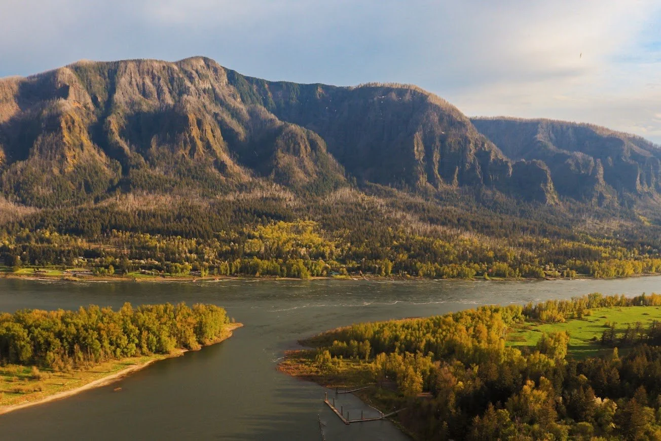
It doesn’t get any better than this view - standing atop Rowena Crest Viewpoint
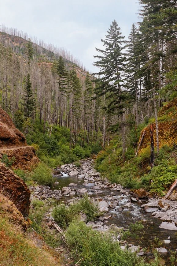
I’ve visited the Columbia River Gorge National Scenic Area several times over the past few years. It is considered a little far for a day trip from Seattle, so I always try to be somewhat intentional with where to go. The first couple of times I visited, the area was still heavily impacted by the 2017 Eagle Creek Fire, which posed potential hazards and led to a few trail closures.
When I returned a few years later, I was able to do some of the hikes that were previously closed. Most recently, I camped at Wyeth Campground for the first time, and finally hiked the Eagle Creek Trail out to Tunnel Falls, and got to see the newly reopened Mitchell Point Tunnel — proof there’s always a reason to go back.
I’ll cover my personal highlights and must-see hikes and waterfalls below, and I plan to keep updating this list whenever I make it back.
Most of these stops mentioned in this post are conveniently located along I-84 except for Beacon Rock State Park, which requires you to cross the Bridge of the Gods to get over to Cascade Locks. The highway hugs the Columbia River but if you have time, I definitely recommend eventually getting onto the Historical Columbia Highway - more on that later.
The entire highway has pretty good cell coverage so I think in this situation, it is okay to rely on Google Maps to do the navigation work for you.
Where to Camp
I’ve now camped at four different campgrounds around the Gorge, and each one sets you up for a different side of the area. Here’s how I’d think about about picking one. But know that, there are quite a few other options too, which I’ve included below.
Wyeth Campground
Season: Reservation season typically runs spring through fall.
Dogs Allowed: Yes, on leash.
Camping: 13 individual sites + 3 group sites. We stayed at Group Site 3. Reservation only (book up to 6 months ahead. Like all campgrounds, this one fills fast between Memorial day and Labor Day). No hookups, but potable water is available. Smaller trailers/RVs under 30 feet will fit, though it’s really set up for tent camping
Information: US Forest Service - Wyeth Campground
I stayed here in July and it’s a really convenient central-Gorge basecamp. It sits directly on the Historic Columbia River Highway State Trail, so if you bike, you can roll straight out of your site and bike 6 miles west towards Viento State Park. Like most campgrounds in this area, it sits close to the railroad and I-84, so expect some background noise.
Beacon Rock State Park
Season: Park itself is year-round with a winter schedule. The Upper Loop is closed Nov 1 - March 15, but reservations are available for dates that are open. The Woodward Creek Campground is reservable year-round.
Dogs Allowed: Yes, on leash.
Camping: 26 sites, more suitable for tents than big rigs like trailers/RVs but there are also 5 full-hookup RV sites at the Woodward Creek Campground. Reservations required during peak season, otherwise it’s first-come, first-served.
Website: Washington State Parks - Beacon Rock State Park
If you’re focused on exploring on the Washington side, this will be my pick. Hikes include Hamilton Mountain and Beacon Rock itself. It has easy access across the Bridge of the Gods ($3) to Cascade Locks and the Oregon trailheads.
Memaloose State Park
Season: Campground open mid-March/April through October.
Dogs Allowed: Yes, on leash (6 ft max when outside your site).
Camping: 109 sites total — a mix of tent sites and full-hookup RV sites. Reservations recommended, up to 6 months in advance. Sites are close together and it sits right next to I-84 and an active rail line, so it's not the quietest, but the river views are hard to beat.
Website: Oregon State Parks - Memaloose State Park
This is my go-to if I’m focused on the eastern Gorge which includes the Mosier Plateau Trail and Rowena Crest Viewpoint — so the wildflowers are a short drive away, and it’s a good landing spot if Columbia Hills (day-use only) is your main destination on the Washington side.
Maryhill State Park
Season: Camping is first-come, first-served Nov. 1 - March 15. Sites 51 - 71 closed Oct 31 - March 15.
Dogs Allowed: Yes, on leash (not permitted on the swim beach).
Camping: 72 sites total — 50 full hookup, 20 standard, and 2 primitive. Right on the Columbia River with 4,700 feet of shoreline, so it's also a windsurfing and paddleboarding spot. Reserve ahead for summer.
Website: Washington State Parks - Maryhill State Park
I’d pick this one if Memaloose is your Oregon side-pin. You get the same wildflower galore on this side of the river as well. I camped here specifically to visit Columbia Hills State Park and hike Horsethief Butte, an easy 1.4~ mile loop through basalt columns. It’s a similar wildflower season to Memaloose/Rowena Crest, just on the other side of the river.
Waterfall Hikes
One of the highlights of the Columbia River Gorge is the waterfalls! There are plenty of trails that will take you up close to the waterfalls but don’t feel like you have to do all of them in one trip. Below is a list of waterfalls I actually hiked to. Some of these trails will take you to multiple waterfalls on the same trail.
Horsetail and Ponytail Falls
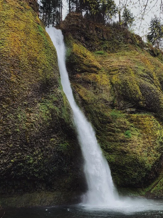
Horsetail Falls
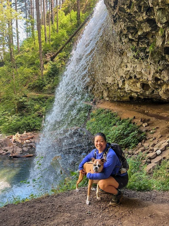
Milly and Caroline at Ponytail Falls
Trail stats
Horsetail Falls is one of the most accessible waterfalls in the Gorge. I parked my car in the small lot across the street and less than 20 steps later, I was at the base of the falls. There is a trail that you can take to hike up to Ponytail Falls, which is about 0.8 miles one way. The trail climbs rather steeply initially but it eventually takes you behind the 80-foot falls through a natural rock overhang, making this one of the only waterfalls that you can walk behind.
I continued past Ponytail Falls for about 0.3 miles and it brought up to a viewpoint. I stopped here and turned around. It has a nice view overlooking the Columbia River. If you continue on, you will eventually reach Triple Falls. Once up a time, you could hike up to Oneonta Falls, but that section is permanently closed due to fire damage.
Extend your hike:
You can continue on this trail and hike to Triple Falls, which makes this hike about 3.6 miles roundtrip with 1,446 feet of gain. There are a few more waterfalls along Oneonta Creek.
Multnomah Falls
Multnomah Falls
Benson Bridge at the upper viewpoint
Trail stats
This is Oregon’s tallest waterfall and the most iconic stop in the Gorge. Due to its popularity, a timed use permit is required between 9am to 6pm from May 26 to Sept 4 (Memorial Day to Labor Day) if you are accessing the falls from I-84. The last time I visited, there was someone on the trail making sure you have a permit before allowing you to walk up to the viewpoint for the falls.
I haven’t hiked up to the upper viewpoint since I was still traveling with my family, which was probably more than 10 years ago. However, the trail does bring you up to the Benson Bridge (the bridge in the photos) and continues uphill steeply before reaching the upper falls.
There is also the Multnomah Lodge where they sell gifts and ice cream — perfect when visiting on a hot summer day!
Dry Creek Falls
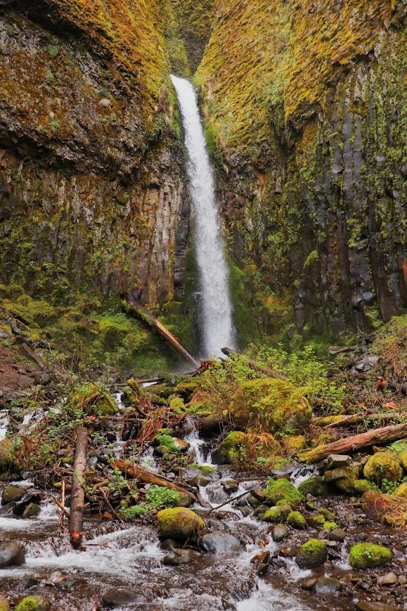
Dry Creek Falls
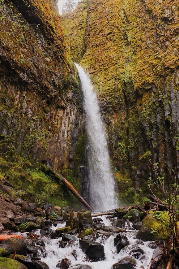
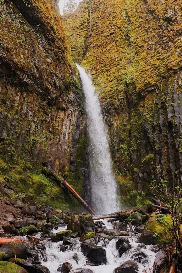
Dry Creek Falls
Trail stats
Trailhead: Bridge of the Gods (Google Maps)
Dry Creek Falls has been on my list for a while, but I never had the time to visit. Starting from the Bridge of the Gods trailhead, this is an easy walk through an old-growth forest that climbs gently to the falls.
The trailhead was a little tricky to find at first but there is actually a small parking area. When I did this hike, there was also a trail running event going on so the area was extra packed and made it difficult to find parking.
Wahclella Falls
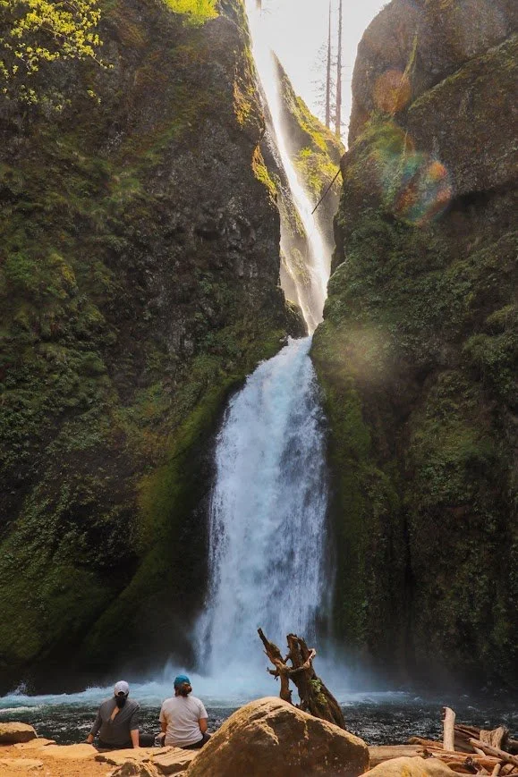
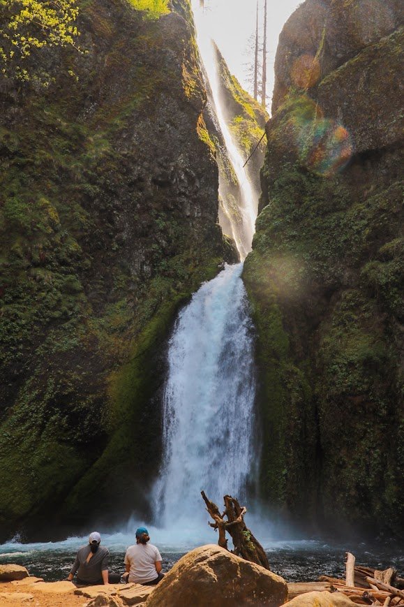
Two hikers resting at the base of Wahclella Falls
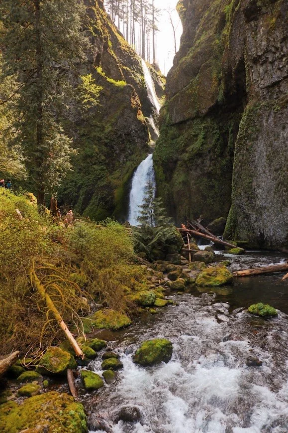
Wahclella Falls
Trail stats
Trailhead: Wahclella Falls (Google Maps)
A short, popular hike along Tanner Creek to an iconic two-tiered waterfall in a mossy amphitheater. This hike was heavily impacted by the Eagle Creek Fire, so watch your footing!
I found this hike to be more difficult than Dry Creek Falls even though it is shorter, but you gain more elevation. Sections of this trail was steep and eroding. If you are hiking with kids, keep them close! There were plenty of rest spots once you get to the waterfall, I thought it was really worth the short steep hike up.
Tunnel Falls via the Eagle Creek Trail
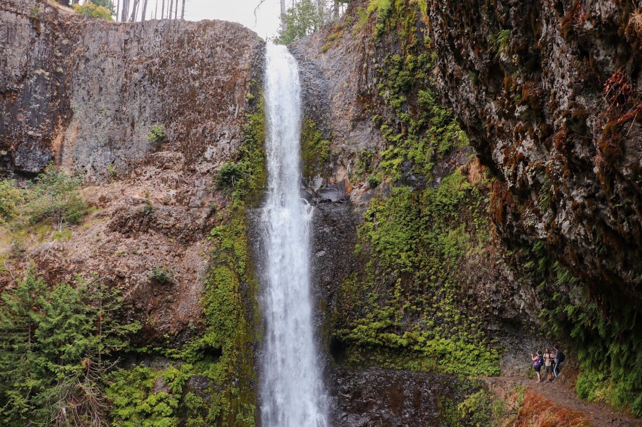
Hikers along the Eagle Creek trail that brings you behind Tunnel Falls
Trail stats
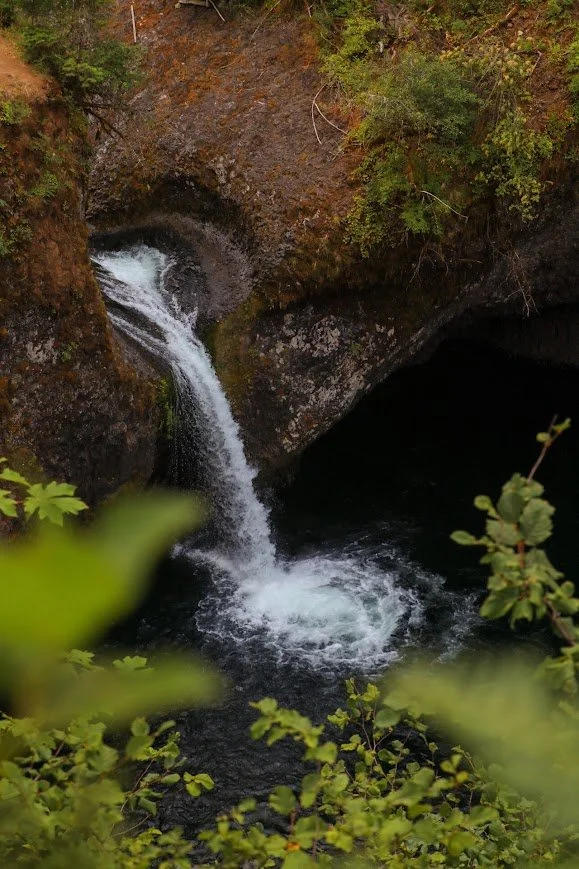
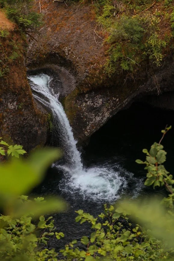
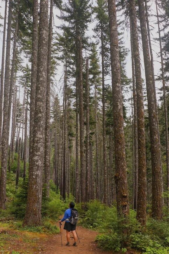
The small lot closest to the trailhead was completely full when we arrived, so we parked further down the road and walked in. The trail is a steady, gently-graded climb that brings you past several waterfalls and bridges including Punch Bowl Falls, High Bridge, and Tunnel Falls. Many people hike this to get to Lower Punch Bowl for the swimming holes or turn around at Tunnel Falls — a 172-foot waterfall with a trail blasted through the cliff behind it. We continued another half mile to Twister Falls before turning around. This was a good spot for a snack break before having to hike 6 miles back to where you came from.
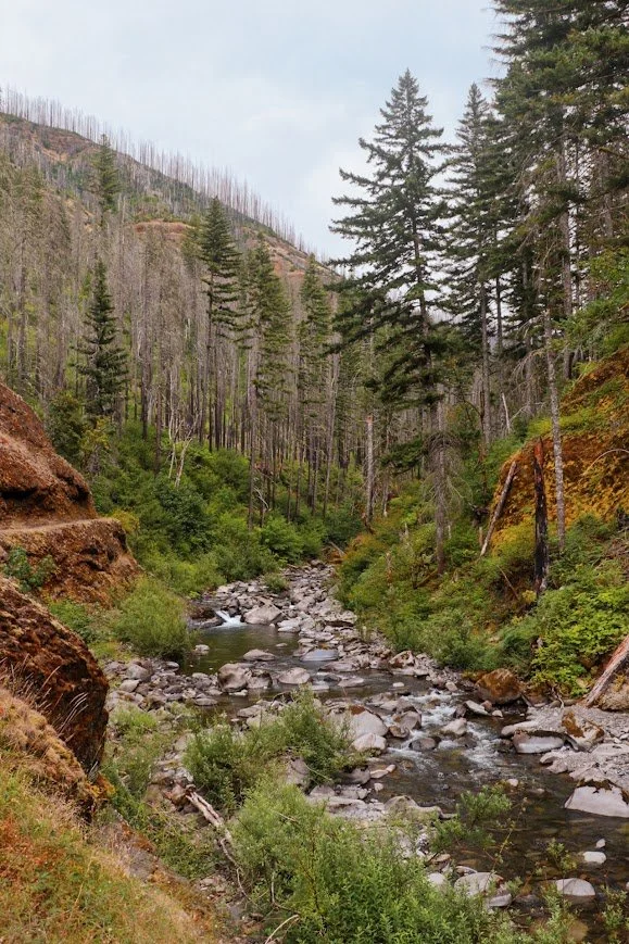
The Eagle Creek Trail sits inside the 2017 Eagle Creek Fire scar and has a history of storm-related closures. It was closed for months earlier in 2026 after storm damage in December 2025 — check trail conditions and alerts before you go.
Wildflower Hikes
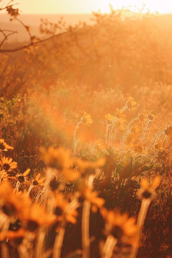
The Columbia River Gorge is also home to many hikes for wildflowers and many flood to this area for the them. Generally, the wildflowers bloom from late April to early June, but that’s dependent on the season as well. I like to check the Bloom Status Map for Oregon & Washington before heading out and I suggest you do the same too.
Dog Mountain

Tori descending the Dog Mountain trail

Looking back at the trail we just came up from!
Trail stats
Trailhead: Dog Mountain Trailhead
Dog Mountain is a challenging hike but provides exceptional views of the Columbia River Gorge. It is also one of the best-known wildflower hikes in the Gorge. A permit is needed to hike on the weekends in late April through early June, and required on Memorial Day (Monday).
I went a little too early so I didn’t need the permit in addition to my Northwest Forest Pass. Some flowers were beginning to bloom but the hills weren’t entirely covered. There are two options to hike up to Dog Mountain. One is labeled as ‘easier’ and the other labeled as ‘more challenged’. We opted for the easier option and it still kicked our butts. The last mile of the hike offers no shade so it gets extremely hot. Once you get to the top of Dog Mountain, enjoy the cool breeze and expansive views of the Gorge.
Have a snack, take a breather, you’ve made it!
Mosier Plateau Trail
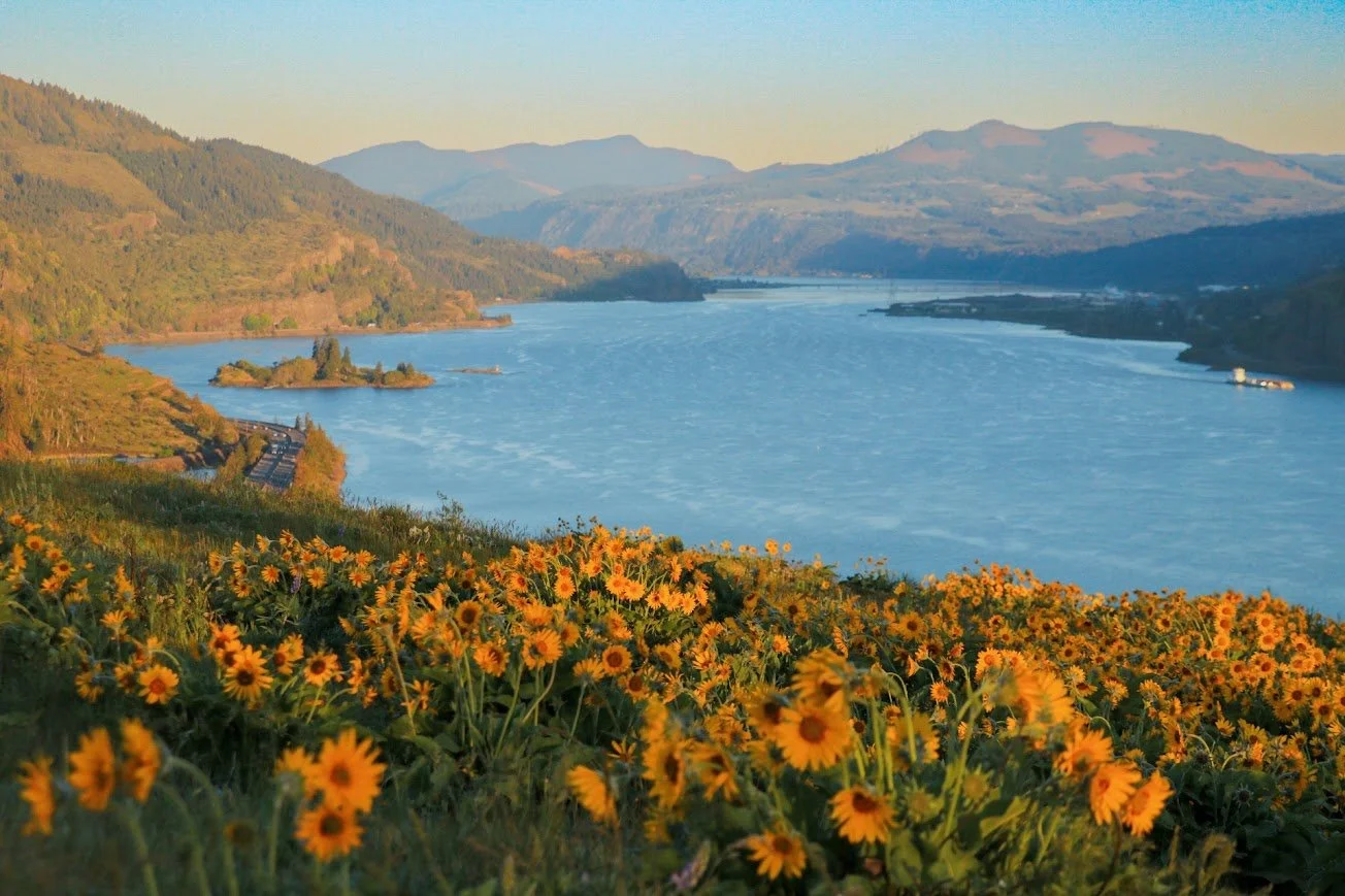
The Mosier Plateau Trail offers extensive views of the Columbia River without as much effort as Dog Mountain.
Trail stats
The Mosier Plateau Trail is easily one of my favorite hikes in the area. The trailhead is located in the town of Mosier and parking can definitely get difficult. I’ve been lucky enough to be able to finding parking in a small lot just across the trailhead. But there were times where I had to park near the train tracks a little further down. The latter has more parking but adds more mileage to your hike.
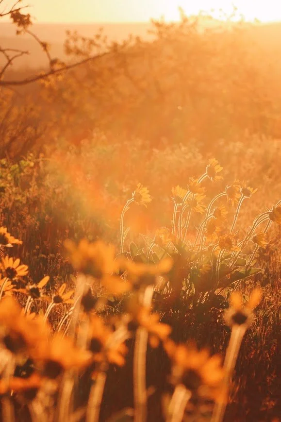
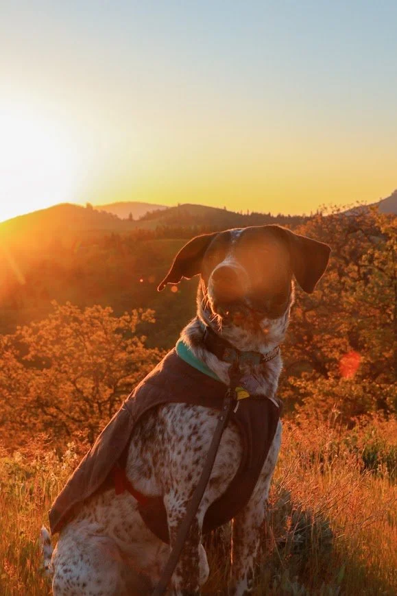
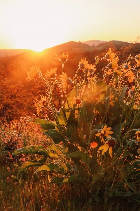
I didn’t know what to expect the first time I came here. I followed the crowds of people on the narrow path and headed up to the plateau. This trail doesn’t climb as much as Dog Mountain, but it is a tiny bit of a workout. The hike is short and once you get up, there is plenty to explore. The lupines and balsamroot were really blooming both times I was up here. I even came back to hike it during sunrise and it was so worth it although it was really chilly in late April.
Columbia Hills State Park
Horsethief Butte
Trail stats
Horsethief Butte was one of the first hikes I did when I visited the Columbia River Gorge. My friend really wanted to hunt down the abandoned car that shows up in a lot of photos so we headed over here to do a couple of hikes.
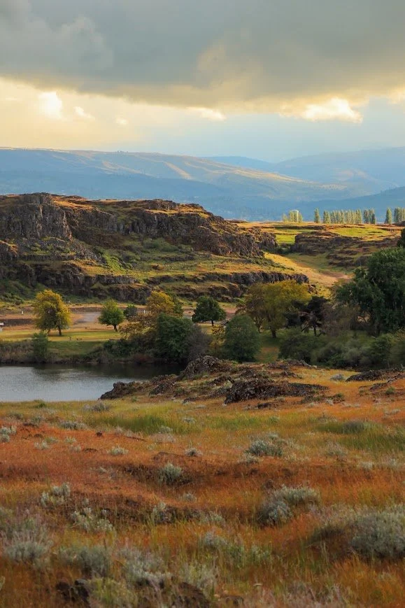
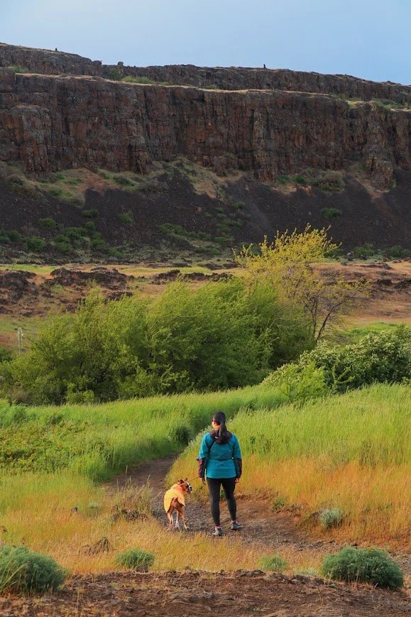
The hike is located within the Columbia Hills State Park, on the Washington side. It is an easy loop through hexagonal basalt columns and old petroglyph sites, with views over Horsethief Lake and the Columbia River.
The Abandoned Car - Dalles Mountain Ranch

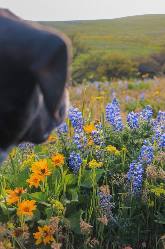
Tex amongst the lupines and balsamroots
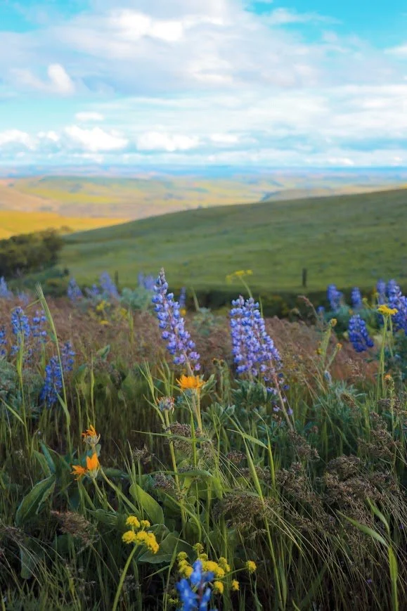
Lupines along the hills of Crawford Ranch
Trail stats
There are multiple trail systems in this area and it can get a little confusing — rusted equipment, an old homestead, and the famous half-buried truck that shows up in half the wildflower photos from this area. Distance can vary a lot depending on which junctions you take. It’s listed as ~8 miles roundtrip depending on how far you want to go.
We only hiked up to the half-buried truck and turned around to walk along the Horsethief Butte trail instead. But the wildflowers were blooming when we came in May a few years ago.
Rowena Crest - Tom McCall Point Trail

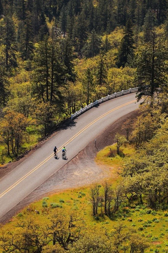
Rowena Crest Viewpoint is perfect for the classic view of the Columbia River Gorge
Trail stats
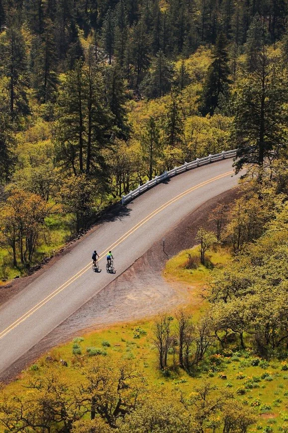
What led me to the Rowena Crest Viewpoint was once again one of those viral videos and photos you see on social media. I imagine people probably did what they’re not supposed to do get that shot of winding road. But there is so much to explore that you don’t need to do that to get that one specific shot.
This is also the trailhead to the Tom McCaw Nature Preserve. Due to the nature of the preserve, dogs are not allowed on any of the trails in this area. For this reason, I’ve never finished the full climb to Tom McCall Point, but I’ve seen the photos from this area and it’s worth visiting for the bloom starting in April or early May.
Check bloom status: https://nwwildflowers.com/map/

It was very fun to drive on the Historic Columbia River Highway.

A sneak peek of when wildflowers are in bloom.
Lyle Cherry Orchard Trail


This hike is almost like a choose your own adventure. We only did part of it and it doesn’t seem to end. I think it was because we went earlier in the season. While the balsamroot was starting to bloom, none of the ponderosa pine trees were blooming. However, it was still an interesting hike to do. More details of this trail can be found on Washington Trails Association (WTA), which gives you a comprehensive description on what to look out for on this hike.
Everything Else
The Columbia River Gorge National Scenic Area is the epitome of outdoor adventures. Whether you’re into hiking, wind surfing, mountain biking or just regular cycling, this area has something for you. I would like to eventually take my gravel and mountain bikes down here to do more exploring.
Beacon Rock Trail
Views along the Beacon Rock Trail
Trail stats
The Beacon Rock Trail was built directly into the side of an 848-foot volcanic plug by Henry Biddle between 1915-1918. He initially purchased it to preserve it but also built the trail to the summit. The route features 52 switchbacks along with bridges and handrails, making the steep climb both safe and accessible.
I thought the Beacon Rock Trail was super cool. The path was fun to walk on and the stunning panoramic views of the Columbia River as a reward was well worth the 600 feet of gain.
Mitchell Point Tunnel
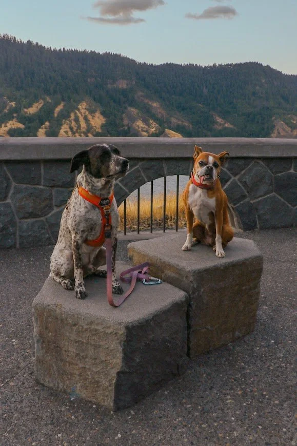
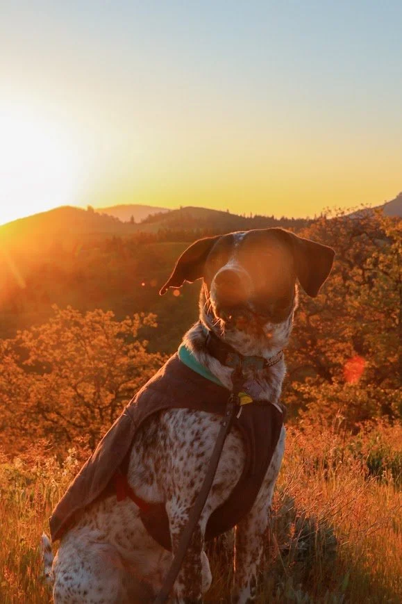
Tex and Milly at the Mitchell Point Tunnel viewpoint
The original tunnel opened in 1915 with five arched windows over the Columbia River, but it was closed and destroyed in 1966 for building I-84. A rebuilt version finally reopened in March 2025 and it’s only open to bikes and pedestrians only.
We came here for sunset and walked the tunnel. It’s fully paved and gains almost no elevation. The views here overlooking the Columbia River was amazing and the tunnel itself was really cool too.
If you’re hoping to bike here from Wyeth, like I want to do next time, the paved trail runs nearly 6 miles from Wyeth to Viento State Park — you’ll essentially be biking on the Historic Columbia River Highway State Trail. This section passes Starvation Creek, Cabin Creek, Hole-in-the-wall, and Lancaster Creek.
Conclusion
I feel like I’ve only scratched the surface of places to explore within the Columbia River Gorge National Scenic Area. There is plenty to see and do. I always wish I had more time to visit all of the places but despite visiting this area on several separate occasions, there is simply too many options. With that said, I will continue to update this list whenever I explore a new hike or state park or activity - so keep checking back! I hope this list provided you with at least a starting point of places you can go visit. Spring and summer are busy seasons for this area because of the wildflowers and the relatively moderate temperatures even in late April (although chilly mornings do exist).
Resources

Here is a list of resources that could help you plan your trip. I’ve included the state parks I camped at as well so you can stay closer to where the adventures begin.
General Information:
Friends of the Gorge - provides a ton of information on hikes, history of the Gorge and conservation efforts to keep the area clean and accessible.
Rowena Crest Viewpoint- information about Rowena Crest and the Tom McCall Nature Preserve
Columbia Hills State Park - has multiple hiking trails
Historic Columbia Highway State Trail — Oregon State Parks - information on the trail that’s open to bikes/pedestrians only; includes information of different segments.
Historic Columbia River Highway State Trail — ODOT: current status of the Wyeth–Mitchell Point bike route
Permits & Passes:
Campgrounds:
Memaloose State Park -camping on the eastern end near Mosier and Rowena Crest
Maryhill State Park - because Columbia Hills doesn’t have camping, we camped at the nearby Maryhill instead.
Wyeth Campground - reservation-only Forest Service campground, central Gorge basecamp
Beacon Rock State Park- this state park has camping and a couple of hiking trails.