Hiking to Park Butte Lookout: Mount Baker Views Without the Crampons
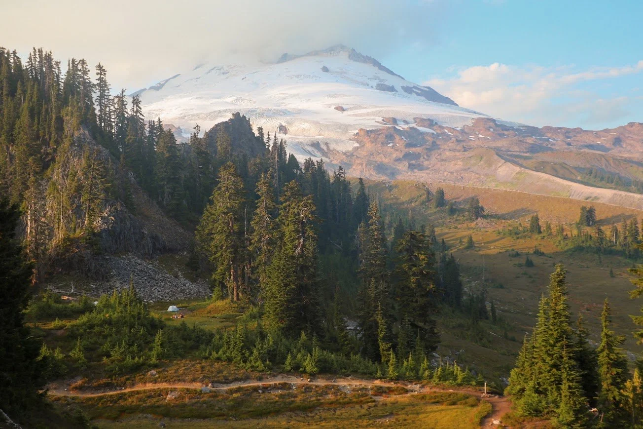
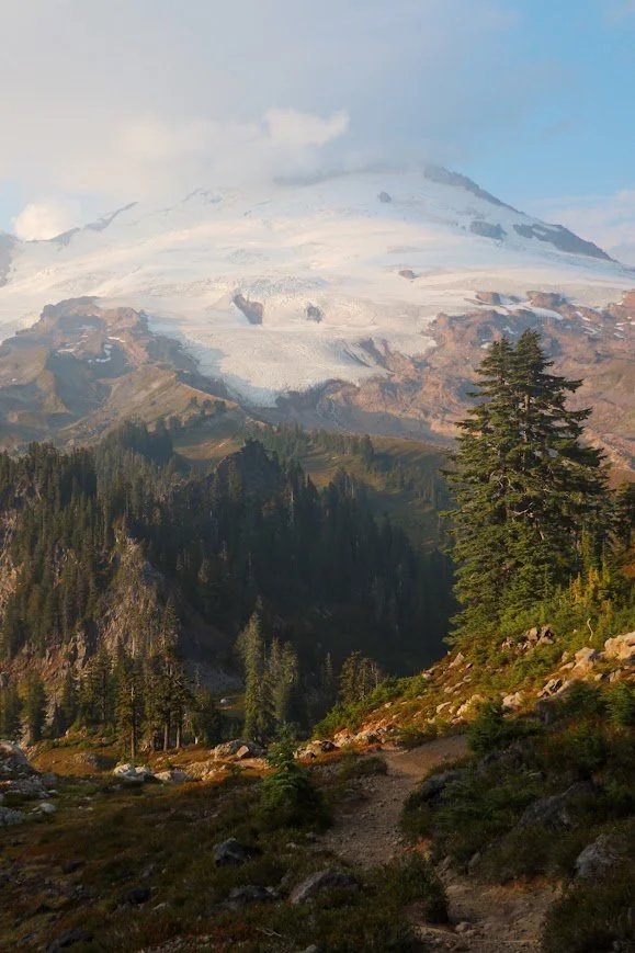
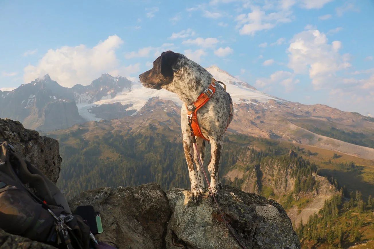
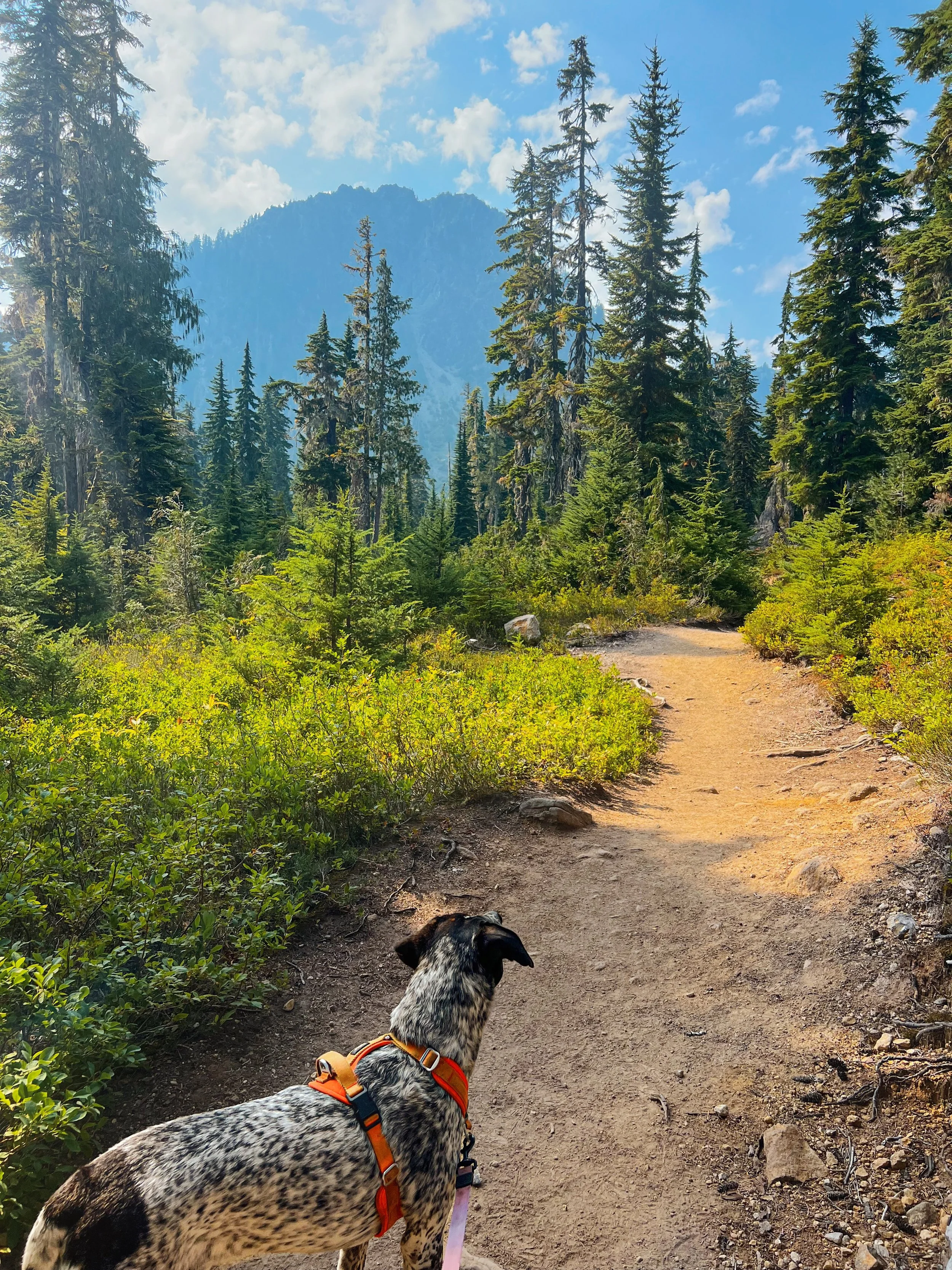
Hiking back out towards the parking lot with Mount Baker in the backdrop.
Park Butte Lookout is one of the most popular day hikes near Mount Baker. This 8-mile round trip hike takes you through a forest and opens up to a wide meadow before reaching the fire lookout that was built in 1932. It’s also a trail I keep ending up on without actually going there.
Trail stats
Getting to the Trailhead
Coordinates to the trailhead: 48.7067, -121.8122
The Park Butte Lookout trail starts at the Schriebers Meadow Trailhead, off the Baker Lake Road. FR 12 starts out as a regular forest service road, a bit bumpy and glittered with gravel and tiny rocks. When you turn onto FR 13, this is when things get a little bumpy. The worst section is the last 1.5 to 2 miles before the trailhead. Parking is available for about 40 cars and there is a vault toilet as well. There are also horse camps here.
This trail shares the same trailhead as the Scott Paul Trail, so don’t be alarmed if the lot looks busier than the Park Butte numbers would suggest although I would assume most people’s objectives are either going to the lookout or summiting Mount Baker.
A Northwest Forest Pass is required to park here.
Hiking to Park Butte Lookout
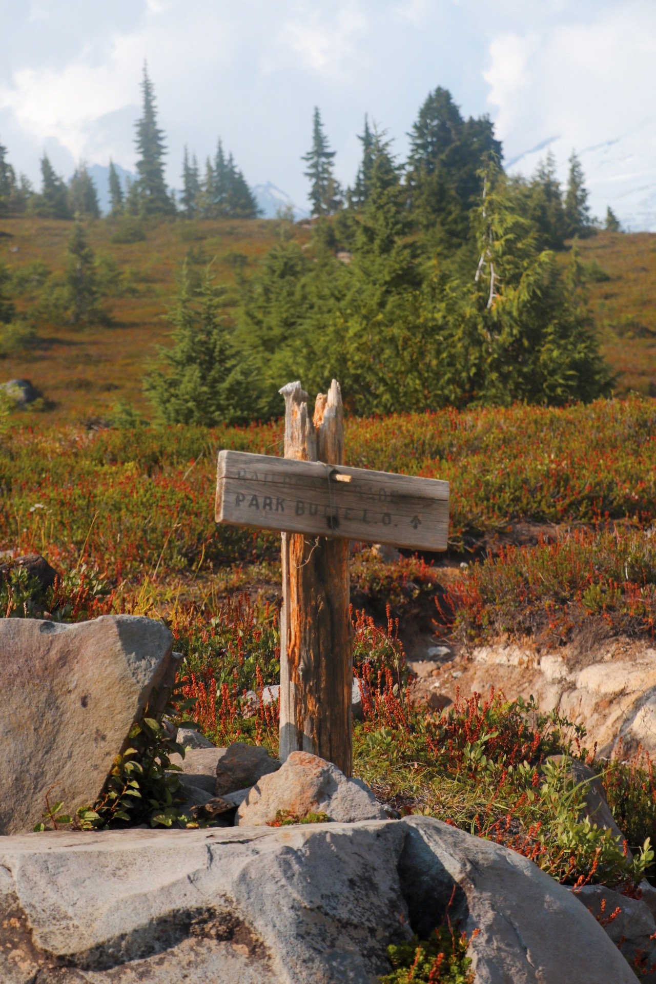
I couldn’t really decide where to go on a fine Saturday afternoon. I felt like I was running out of time and wanted to go after something lighter. The distance and elevation gain for going up to Park Butte seemed like the perfect choice. Plus, I also haven’t been to this area for a while. Instead of taking a right at the junction up Railroad Grade, I decided to keep going straight for the lookout.
Trailhead to Rocky Creek
1 mile + 287 feet of elevation gain
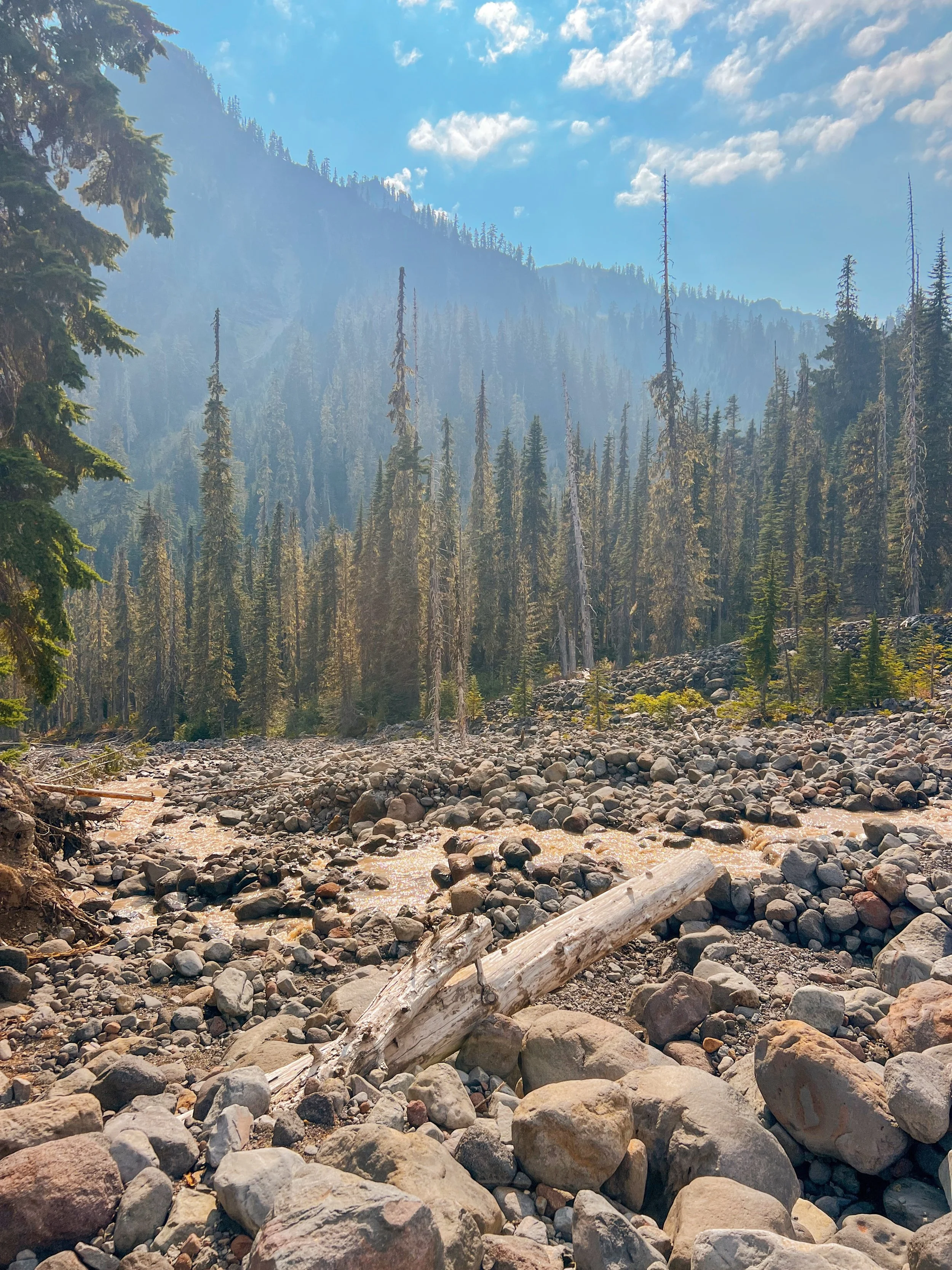
I’ve been on this section of the trail a few times now, but the objective was never getting to Park Butte. The first time I did this trail, I set up camp along the Railroad Grade trail because I didn’t know what the camping situation looked like down at the meadows. I was also with a friend that hasn’t been backpacking much so setting up camp here seemed reasonable. Campsites were generally established here and easy to spot. The water source here was scarce. I remember finding a small trickling stream further down an unnamed path. It was good enough to fill up my water filter.
The second time I did this trail, we set up camp just a little past Sandy Camp, at the base of Mount Baker, with the goal of learning some mountaineering skills and summiting Mount Baker.
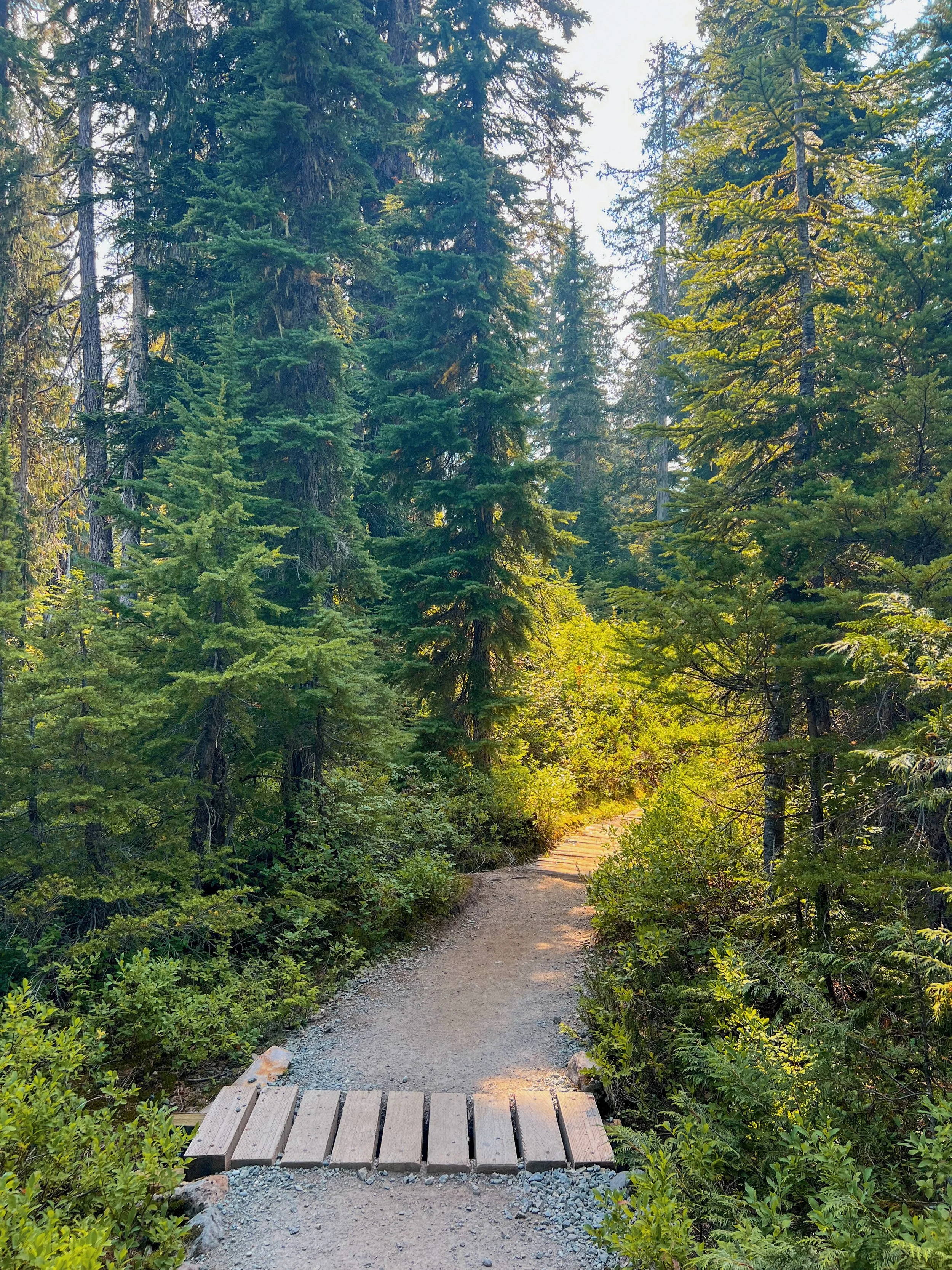
I’ve always enjoy this section. It starts out at Schrieber Meadows where the trail takes you on bridges and boardwalks over Sulphur Creek and a few smaller creeks. This section can be very dusty and dry, and so were the water sources. Although Sulphur Creek generally flows year-round, the water is filled with silt and could easily clog your filter.
About a mile into the hike comes Rocky Creek. Depending on the time of year, this can be difficult to cross. A bridge is sometimes installed to help with the crossing. The third time I hiked this trail, there was no bridge. While it was a bit tricky to find the best way to cross with fast flowing waters, it was still manageable, especially with shoes with good traction and hiking poles. Tex made it over with no problem either.
Rocky Creek to Junction of Railroad Grade
1.4 miles + 943 feet of elevation gain
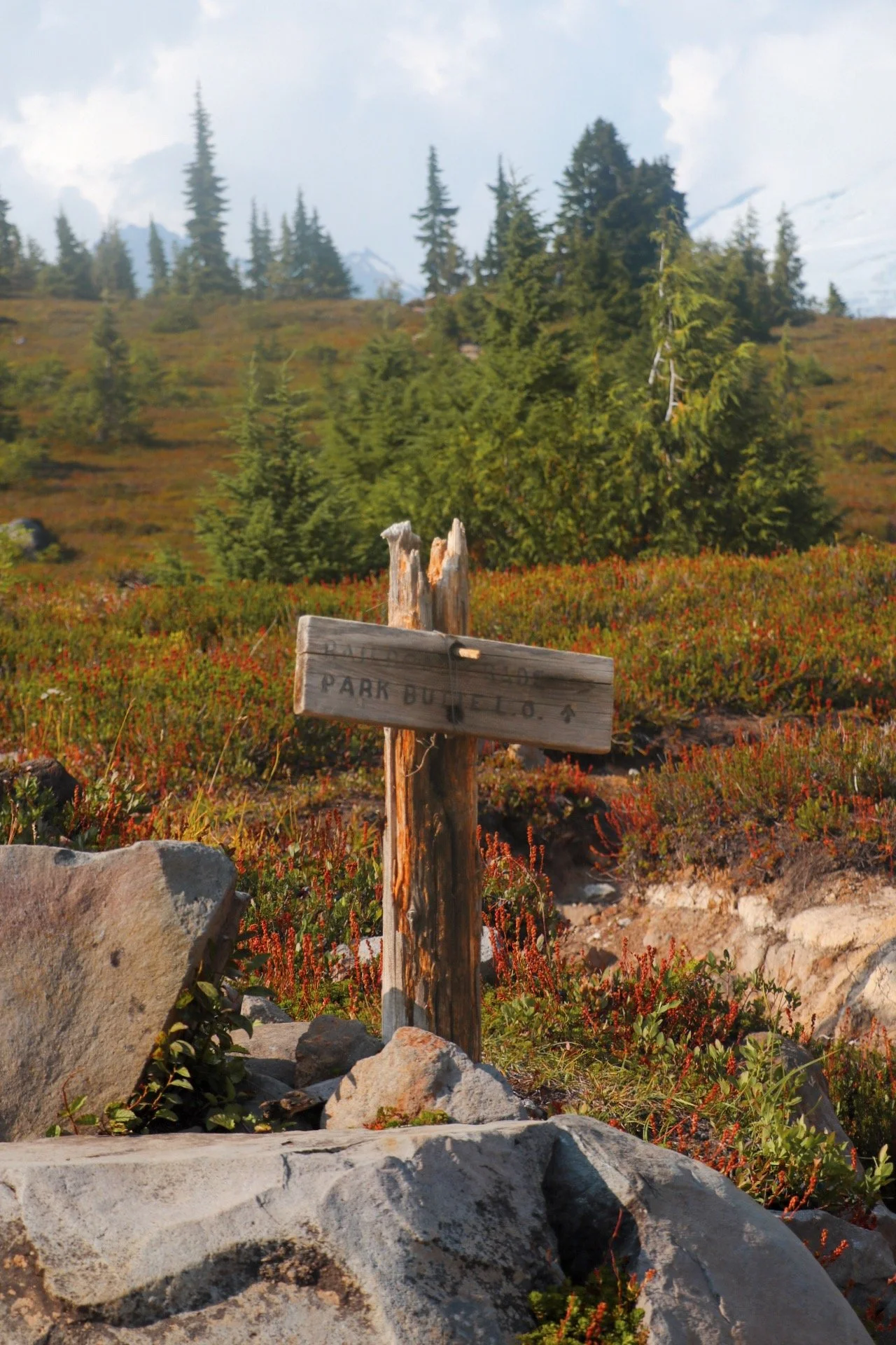
After crossing Rocky Creek, this is when you will start gaining elevation. The trail was very maintained and there were even large steps to help alleviate the steep grade. I always find myself huffing and puffing in this section, and it always feels really toasty even though you are mostly hiking in a forested section.
There was some erosion on the trail but nothing technical or would cause you to slip, but if you’re hiking with kids, I would still be mindful and watch your step and watch their steps. There was no reliable water source here either. However, I am always prepared to pack enough water when I know it might be scarce.
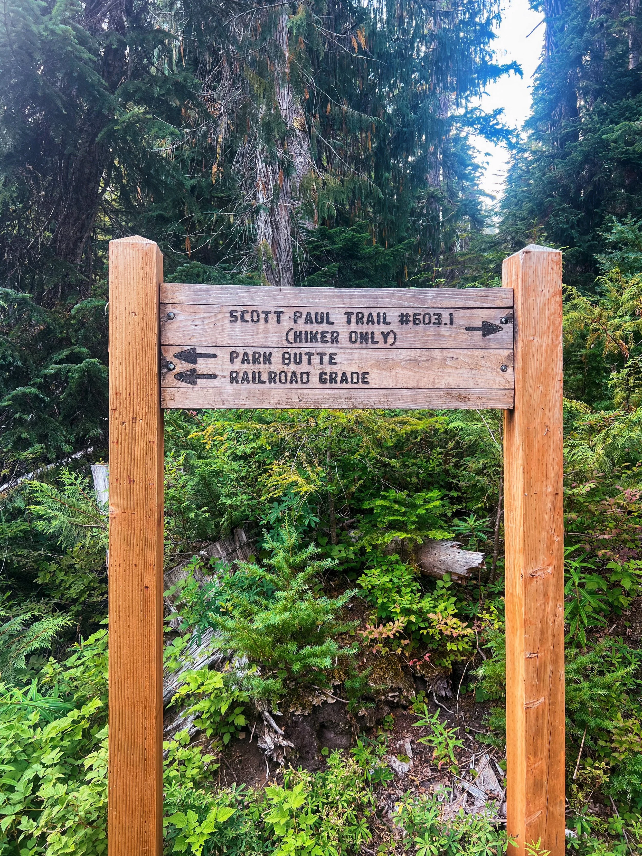
I took a long break at the familiar trail junction. There is clear signage to guide you — left takes you up Railroad Grade and straight takes you up to Park Butte Lookout. I took a long break here. I was about 2.5 miles in and that means I was already a little more than halfway through the hike. I had a snack. Tex and I both hydrated before we finally embark on this section of the trail that we both haven’t been on before.
Junction to Park Butte Lookout
1.3 miles + 751 feet of elevation gain
My watch actually clocked me at around 8~ miles total round trip for this hike, so use the above numbers however you want to. Once I left the junction, the trail was mostly flat until I reached an open meadow. I could see the lookout from down there and the trek looked daunting — the lookout sits high up on a mountain. It felt like more than 1.3 miles to get there. It was around 4:30pm so I still had plenty of time.

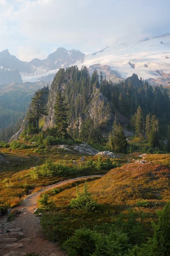
Hiking back to the meadow during golden hour, the lighting was immaculate.
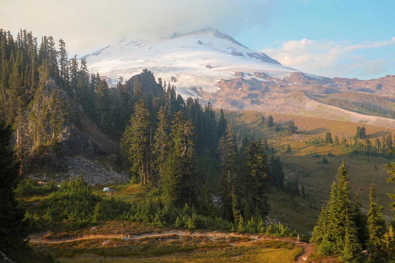
The views from the meadows were beginning to open up, with Mount Baker sticking with you almost the entire time on your left.
While I thought hiking along Railroad Grade trail gave you great views of Baker, this section up to the lookout also offered fantastic views from a different viewpoint. This section was also mostly flat and very well maintained so it definitely felt like a good break before gaining elevation again up to the lookout.
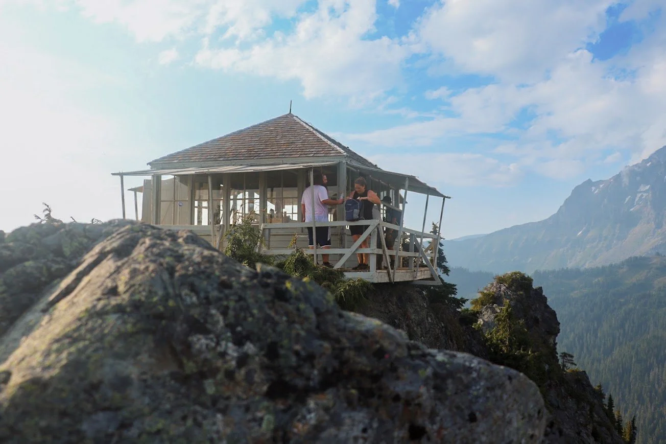
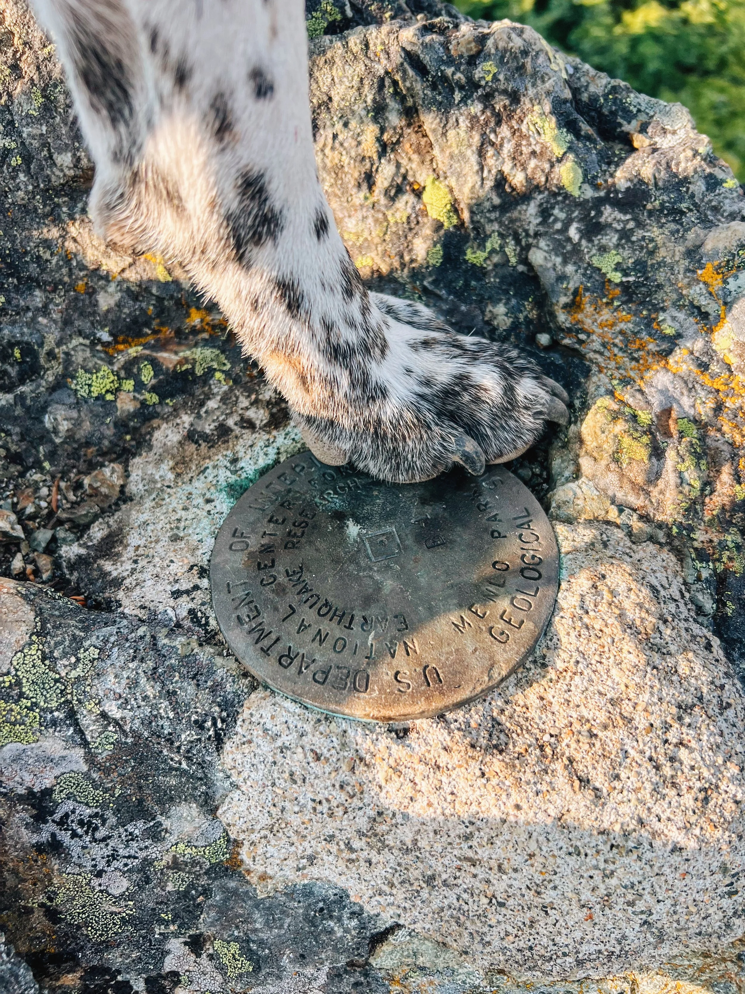
The very last section was a little steep but that’s to be expected when hiking up to any fire lookout. The ladder up to the lookout was one of the more accessible ones I’ve encountered so Tex was able to enjoy it with me this time. There were a couple of folks staying at the lookout that night so I didn’t hang around for too long. Instead, I hung out at the rocks to the right of the lookout — this was also where the plaque was located. It offered great views of Mount Baker and the trail to Bell Pass below, and overlooking the meadow as well.
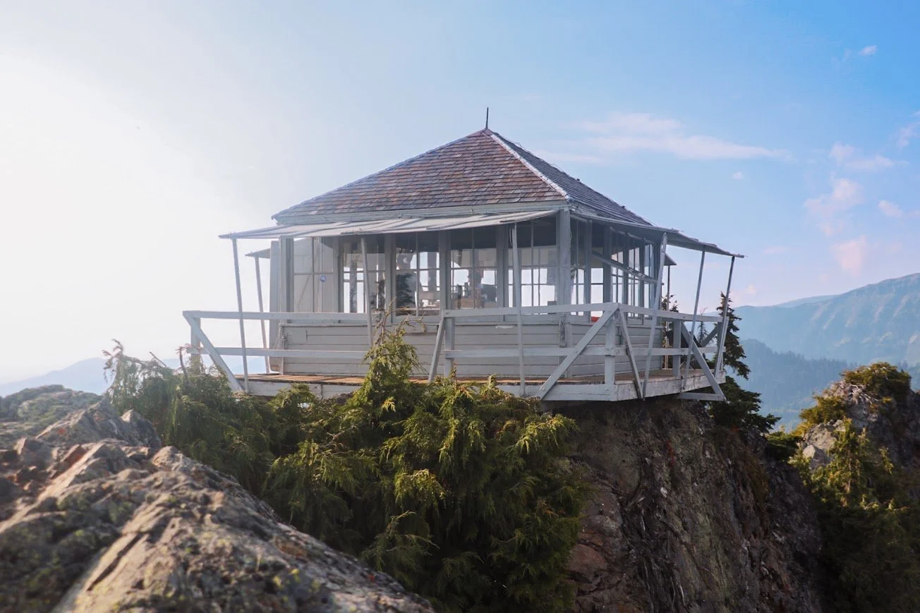
Park Butte Lookout, standing at 5450 feet.
I almost didn’t want to leave. I hung out for an hour or so here. It was a little hazy when I was up there but because Mount Baker was in such close proximity, it didn’t cause any issues with views. It did obstruct some of the surrounding peaks in the Cascade Range though. I saw more day hikers heading up as I was heading down back to my car.
Staying at Park Butte Lookout
I feel like I never start my hikes early enough to stay at a lookout. I also generally get weekends off and the competition for a first-come first-serve stay at a fire lookout is fierce. But if the stars ever align and you find yourself having a weekday off, I would definitely try to get there early to see if you can secure a stay there. Even if there are people staying for the day, you can always ask if they’re heading out.
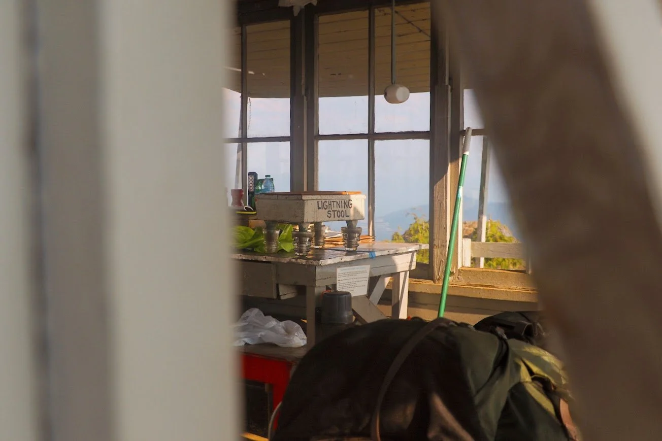
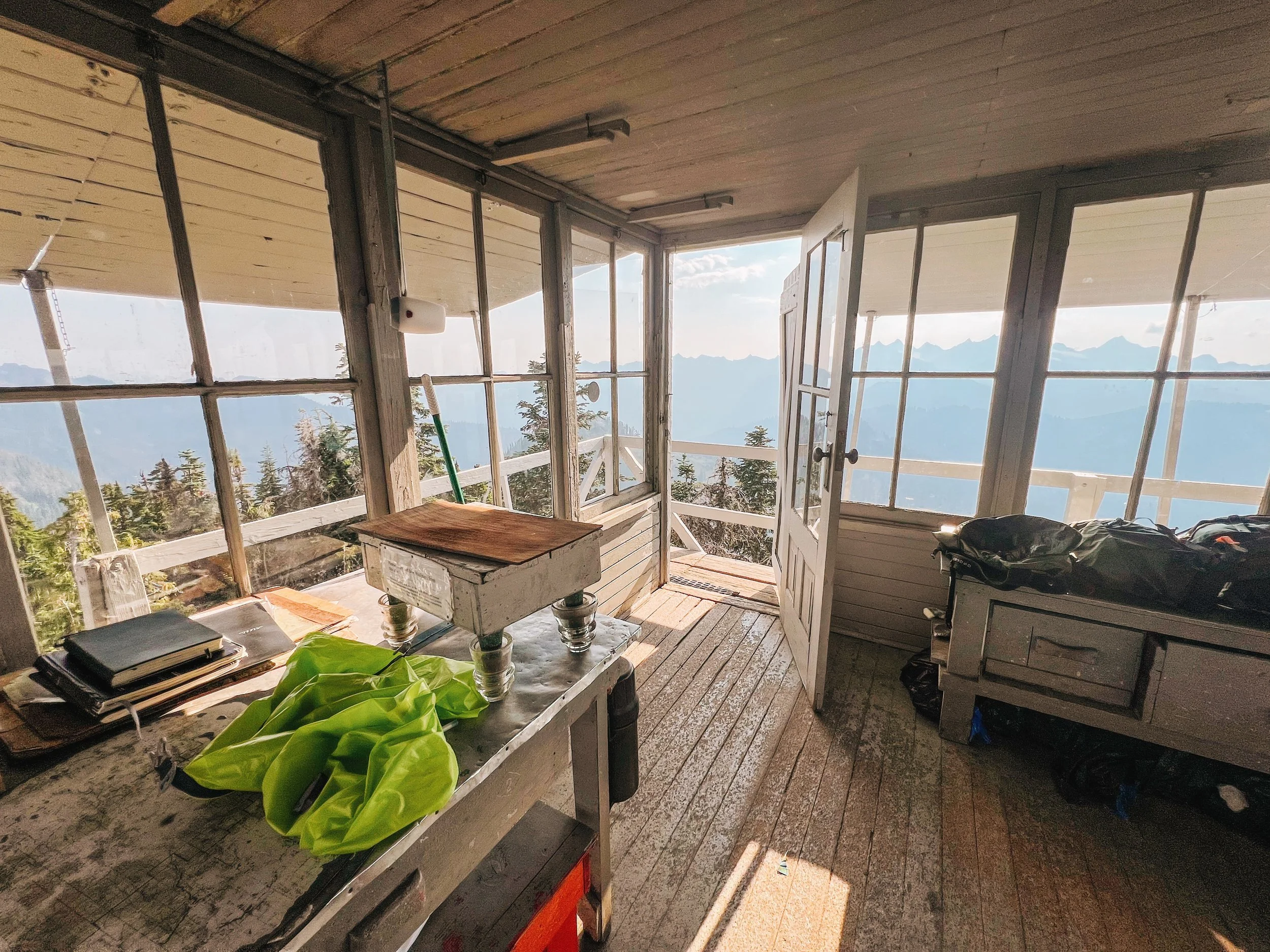
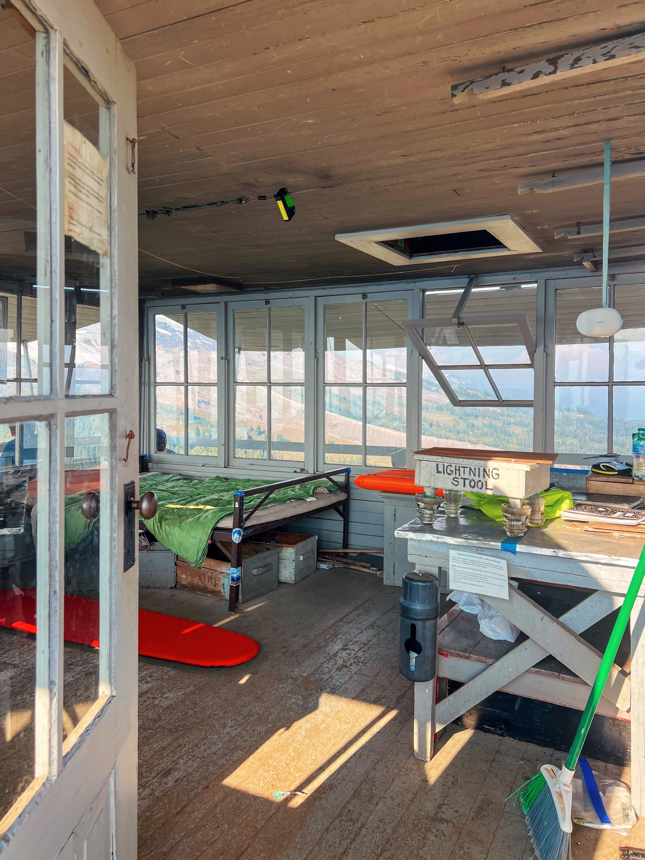
The lookout is equipped with a wooden platform and some basic furniture.
Here’s more information about staying at Park Butte Lookout, plus other fire lookouts that are open to overnight stays.
Lookouts - Overnight Use - USFS: Tips & Regulations
The fire lookout is maintained and managed by the Skagit Alpine Club. To learn more about their work and to make a donation, visit their website.
Camping on the Park Butte Lookout Trail
This is a popular day hiking and overnight destination. Leave no trace principles always apply. This area is also extremely fragile and all human waste and pet waste must be packed out; there are wag bags available at the trailhead as well, I suggest grabbing a few before heading out.
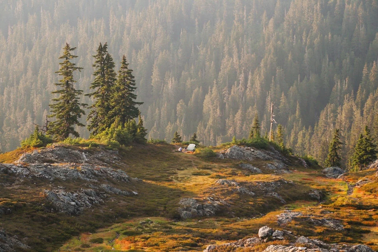
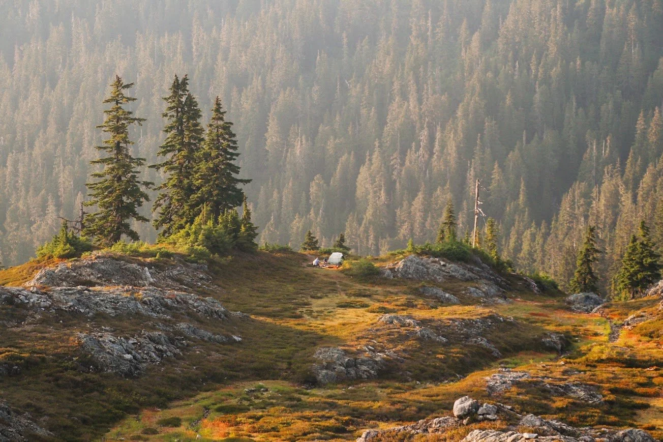
Camping along the Park Butte Lookout trail.
There’s ample camping along the Railroad Grade trail. A lot of folks that are summitting Mount Baker opt for camping near Sandy Camp. Camping is not allowed on the meadows, at the tarns or ponds. Always camp on established sites and durable surfaces and not on vegetation.
Water sources are scarce along the trail. There is a lake before gaining elevation to the lookout but I didn’t actually look at the route to get down there. I imagine if it’s early enough in the season, melting snow could be an option, but don’t expect reliable water sources from July to September.
Since I have the premium edition of AllTrails, it does show me community waypoints for overnight spots. I recommend using this as a guide and then verifying that the marked locations are indeed okay to camp on.
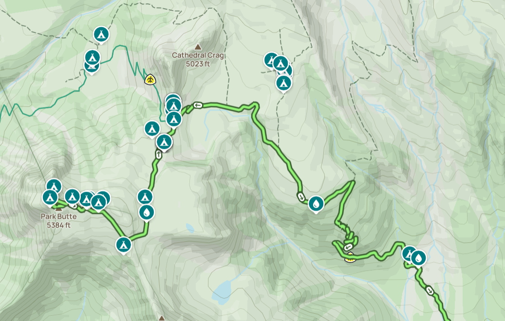
Community waypoints of camping spots and water sources from AllTrails.
Final Thoughts
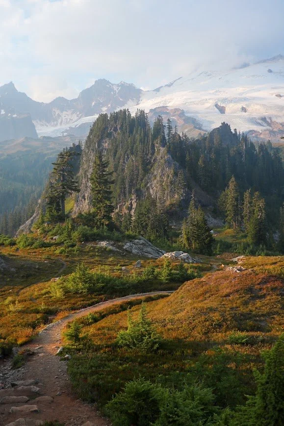
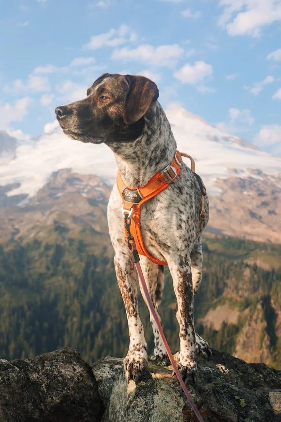
My favorite shot of the entire hike.
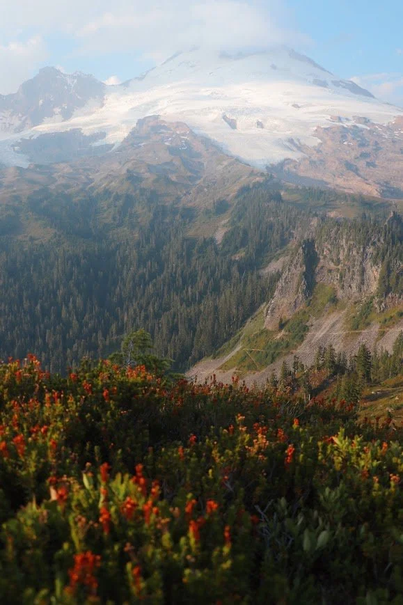
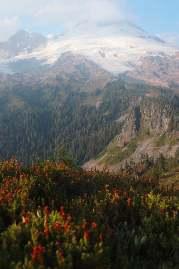
Heather on the side of the trail.
I’ve enjoyed every single hike I’ve done in the Mount Baker Wilderness. This hike is a little further from the regular trails that start on the Mount Baker Highway (Highway 542) or Artist Point, but definitely don’t sleep on it. You can even make this a weekend trip with a day hike up to the lookout and paddling at nearby Baker Lake.
It was really exciting for me to finally be able to get up to the lookout even though I’ve been on this trail a couple times before that. Railroad Grade and the lookout offer different views of Mount Baker but neither will be a disappointment. For more solitude, I definitely recommend hiking up Railroad Grade.
This is an area I always come back to and still working on checking off more hikes off my list, and I would definitely like to come back and do this as an overnight backpacking trip.
Don’t forget to stop by Birdsview Diner on Highway 20 on the way back if you’re driving from Seattle! I’ve also stopped at Double Barrel BBQ in Sedro-Woolley but it does close pretty early so plan accordingly.
Resources
Trail info & conditions
Park Butte - WTA: official hike page with directions, stats, and current trip reports
Railroad Grade - WTA: the spur off the same trail, and the standard approach for climbing Mount Baker's south side
Northwest Forest Pass: required to park at the Schreibers Meadow trailhead
Staying overnight
Skagit Alpine Club: maintains Park Butte Lookout, which is open for first-come, first-served overnight stays; donations are appreciated if you spend the night [add link]
My trip report
Full trip report on WTA: conditions as of this trip (August 2026)